Upper vs Lower Peninsula Michigan: Key Differences – Ever notice how Michigan splits into two wildly different worlds? The Upper and Lower Peninsulas aren’t just divided by a bridge-they’re separated by size, weather, industries, and even how locals talk.
From snow-packed wilderness to bustling cities, get ready to discover what truly sets these two regions apart.
Geography and Location
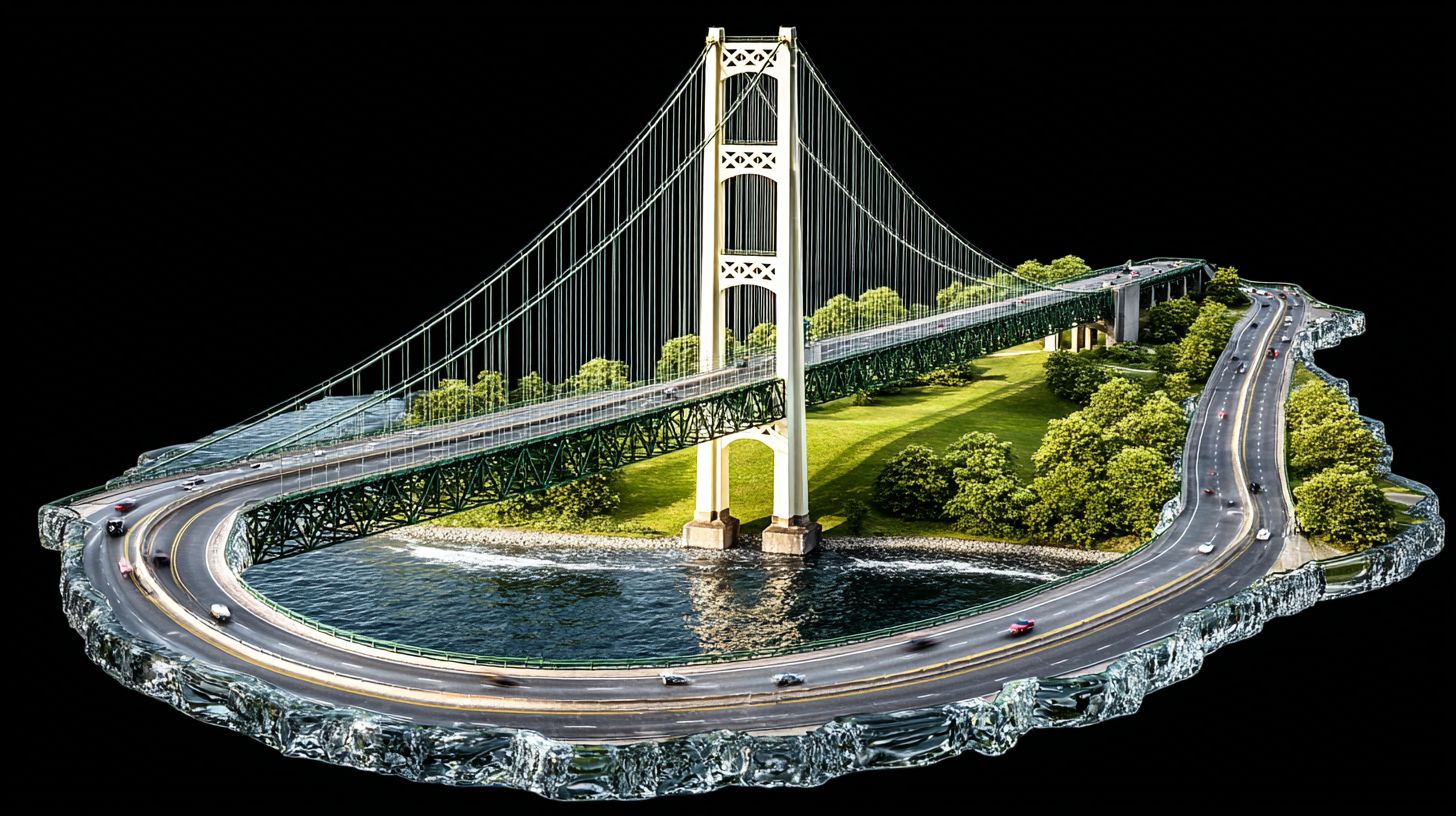
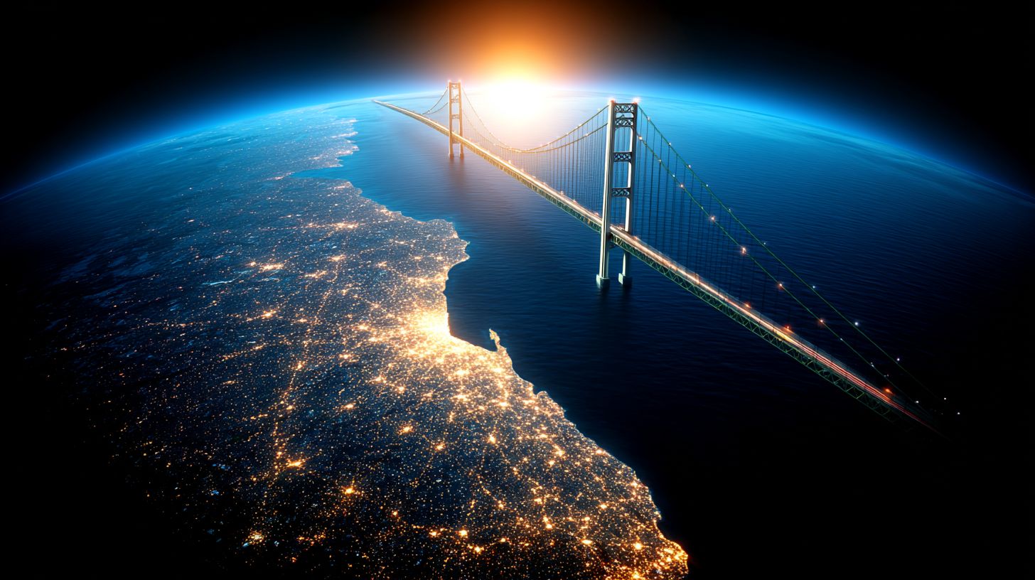
Michigan is split into two distinct landmasses divided by the Straits of Mackinac at the 45th parallel, with I-75 crossing the 5-mile Mackinac Bridge to connect the regions. The Mackinac Bridge sits at 45.7895 degrees N, 84.7284 degrees W and serves as the essential link between these areas.
The lower peninsula forms the familiar mitten shape familiar to many residents and visitors. In contrast, the Upper Peninsula takes on an arrowhead appearance that extends further westward across the map.
Five major water bodies border these peninsulas and define their edges. Lake Michigan, Lake Huron, Lake Superior, St. Marys River, and the Menominee River create natural boundaries that shape daily life and travel patterns throughout Michigan.
Size differences become clear when comparing the two regions directly. The lower peninsula spans 277 miles north-south, while the upper peninsula extends 320 miles east-west. County lines also reflect this contrast, with 68 counties in the Lower Peninsula versus 15 in the Upper Peninsula.
Size and Population
The Lower Peninsula covers 40,650 square miles with approximately 9.4 million residents, while the Upper Peninsula occupies 16,540 square miles with roughly 301,000 residents.
The Lower Peninsula contains 71 percent of Michigan’s land area. The Upper Peninsula holds the remaining 29 percent. This size difference shapes everything from road networks to available services.
Population density shows an even sharper contrast. Wayne County in the Lower Peninsula averages 2,600 people per square mile. Keweenaw County in the Upper Peninsula has a population of roughly 4 people per square mile.
Detroit recorded 639,111 residents in the 2020 Census. Grand Rapids reached 198,173. Marquette listed 20,629 people. Sault Ste. Marie counted 13,337 residents.
Urban concentration remains high in southern areas. Roughly 85 percent of the Lower Peninsula population lives in the southern third below Isabella County. The Upper Peninsula stays largely rural across its counties.
Climate Differences
Upper Peninsula records an average annual snowfall of 200-250 inches compared to the Lower Peninsula’s 40-80 inches due to direct exposure to Lake Superior’s lake-effect snow bands. The Upper Peninsula faces harsh winters that shape daily life across the region. Lower Peninsula areas stay milder throughout most months.
USDA hardiness zones highlight another clear divide between the two peninsulas. Upper Peninsula falls in zones 3a-4b, while the Lower Peninsula ranges from zones 5a-6b. Residents in the Upper Peninsula select different plants than those farther south.
National Weather Service data shows Marquette averages 204.3 inches of annual snowfall versus Detroit’s 42.9 inches. Growing season lengths also differ significantly between regions. Houghton County averages 120 frost-free days while Kalamazoo County averages 165 days.
Winter recreation options reflect these climate patterns across Michigan geography. Upper Peninsula maintains 350+ miles of groomed snowmobile trails versus 50 miles of Nordic ski trails in Lower Peninsula state parks. Winter sports thrive where snow accumulates most heavily each season.
Economy and Industries
Upper Peninsula’s economy relies on iron ore extraction, producing 7.3 million tons annually from Cleveland-Cliffs operations, while the Lower Peninsula generates $14.8 billion in automotive manufacturing. These sectors shape daily life across both regions. Employment patterns reveal clear distinctions between the peninsulas.
Employment sectors differ significantly across Michigan geography. The Upper Peninsula shows 18 percent employment in mining and timber. The Lower Peninsula reaches 22 percent in manufacturing. These figures come from Bureau of Labor Statistics data.
Specific operations highlight these differences. Tilden Mine in Marquette County produces taconite pellets for steel mills. GM’s Lansing Delta Township plant assembles 250,000 vehicles yearly. Each facility supports local communities with steady jobs.
Tourism generates substantial revenue for both areas. Pictured Rocks National Lakeshore draws 800,000 visitors annually, generating $45 million. Sleeping Bear Dunes attracts 1.2 million visitors, producing $67 million. These destinations support seasonal employment across the state.
Median household income shows variation between regions. Upper Peninsula counties average $52,000. Lower Peninsula suburban counties reach $68,000. Cost of living and job availability contribute to these gaps.
Transportation and Connectivity
I-75 spans 395 miles through the lower peninsula, connecting Detroit to the Mackinac Bridge, while US-2 travels 305 miles across the upper peninsula from St. Ignace to Ironwood. These major routes form the backbone of travel between the two peninsulas. Drivers rely on them for everything from daily commutes to long-distance trips.
Mackinac Bridge handles millions of vehicles each year with a modest toll. The four-hour ferry crossing from St. Ignace to Mackinac Island runs from May through October. Both options give travelers flexibility when crossing the Straits of Mackinac.
Detroit Metro serves millions of passengers yearly with dozens of airlines. Sawyer International in Marquette handles far fewer passengers with Delta and American Eagle flights. These airports reflect the different scales of air service available in Lower Michigan versus Upper Michigan.
Sault Ste. Marie International Bridge processes over a million vehicles yearly, connecting to Ontario Highway 17. The Soo Locks move millions of tons of cargo annually, including hundreds of laker vessels. This shipping activity highlights how the Upper Peninsula plays a key role in moving iron ore and grain across the Great Lakes.
Landscapes and Natural Features
Sleeping Bear Dunes National Lakeshore features 65 miles of Lake Michigan shoreline and 450-foot sand dunes, while Pictured Rocks National Lakeshore displays 15 miles of multicolored sandstone cliffs along Lake Superior. These contrasting shorelines highlight the distinct geography between the Lower Peninsula and the Upper Peninsula. Each lakeshore draws visitors seeking different natural experiences along Michigan’s Great Lakes coastline.
Porcupine Mountains Wilderness State Park contains 90 miles of hiking trails and 18 named waterfalls, including a 200-foot Escarpment Trail overlook. This rugged terrain sits within the Upper Peninsula and showcases dramatic elevation changes. Hikers often compare these trails to gentler paths found in Lower Peninsula state parks.
Mount Arvon reaches 1,979 feet in the Upper Peninsula while Briar Hill tops out at 1,706 feet in the Lower Peninsula. These elevation differences influence local climate patterns and vegetation types across both peninsulas. Higher ground in Upper Michigan creates cooler temperatures and different forest compositions throughout the region.
Isle Royale National Park encompasses 400 islands with 165 miles of hiking trails and 72 inland lakes. The park lies entirely within Upper Peninsula waters and remains accessible only by ferry or seaplane. This remote setting preserves unique ecosystems found nowhere else in Michigan’s geography.
State and national forests protect 21 percent of Upper Peninsula land compared to 12 percent of Lower Peninsula area. These protected zones support diverse wildlife populations and recreational opportunities. Conservation efforts maintain the natural character that distinguishes each peninsula’s landscape.
Cultural Distinctions
Yooper dialect features Finnish and Canadian influences with words like ‘pasty’ and ‘pop,’ while Lower Peninsula speakers use ‘troll’ to reference anyone living below the Mackinac Bridge. This linguistic divide reflects the unique identities that developed on each side of the straits.
Universities shape these regional characters in distinct ways. Michigan Technological University in Houghton draws most students from the Upper Peninsula, creating tight connections to local communities and industries. University of Michigan in Ann Arbor pulls heavily from the Lower Peninsula, fostering different academic traditions and campus cultures.
Food traditions highlight the split between the peninsulas. Pasties remain a staple in Houghton-area shops, while Traverse City leads Michigan cherry production. These specialties reflect available ingredients and historical settlement patterns across the two regions.
Local media and annual events further separate the cultural landscapes. The Marquette Mining Journal serves Upper Peninsula households, while the Detroit Free Press reaches Lower Peninsula readers. Marquette’s Blueberry Festival and Traverse City’s National Cherry Festival each celebrate what grows best in their respective areas.
Key Takeaways
Upper Peninsula offers 300% more public land per capita and 400% more annual snowfall, while the Lower Peninsula provides 15 times the population density and 2.5 times the median household income. These contrasts shape very different experiences across Michigan. The geography creates a 5-mile water barrier versus a continuous land connection.
The Mackinac Bridge connects these two peninsulas yet keeps them distinct. Population ratio stands at 31:1, favoring Lower Peninsula communities. Snowfall differential reaches 5:1 ratio favoring Upper Peninsula winters.
Industry focus diverges from extraction in the north to manufacturing in the south. Mining and timber dominate Upper Michigan while automotive and tech sectors thrive in Lower Michigan. Cultural markers include Yooper dialect and pasty cuisine versus suburban Midwest patterns.
Visitors seeking wilderness and winter recreation should target the Upper Peninsula, while those prioritizing urban amenities should focus on Lower Peninsula metro areas. Each region offers unique attractions based on these core differences. Travelers can choose experiences that match their preferences for nature or city life.
Frequently Asked Questions
What is the difference between the Lower and Upper Peninsula of Michigan in terms of geography?
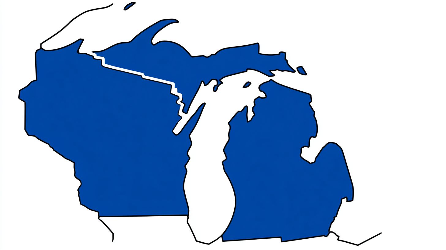
The difference between the lower and upper penisula michigan comes down to location, with the Upper Peninsula sitting north of the Straits of Mackinac and the Lower Peninsula extending south toward Indiana and Ohio.
How does climate differ across Michigan’s peninsulas?
Exploring the difference between the Lower and Upper Peninsula of Michigan reveals that the Upper Peninsula experiences heavier snowfall and colder winters, while the Lower Peninsula tends to have milder conditions overall.
Which industries define each Michigan peninsula?
Understanding the difference between the Lower and Upper Peninsula of Michigan highlights mining and forestry in the Upper Peninsula versus automotive manufacturing and agriculture in the Lower Peninsula.
What are popular attractions on each side of Michigan?
When learning the difference between the Lower and Upper Peninsula, visitors often note the remote wilderness and lakeshores of the Upper Peninsula compared to urban centers like Detroit in the Lower Peninsula.
How do populations and cities vary between the peninsulas?
Reviewing the difference between the Lower and Upper Peninsula of Michigan shows the Lower Peninsula holds most major cities and a higher population density, while the Upper Peninsula remains more rural and sparsely populated.
Why does the Mackinac Bridge matter for Michigan travel?
Considering the difference between the Lower and Upper Peninsula of Michigan, the bridge serves as the vital link allowing easy road travel between the two regions separated by water.
